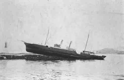
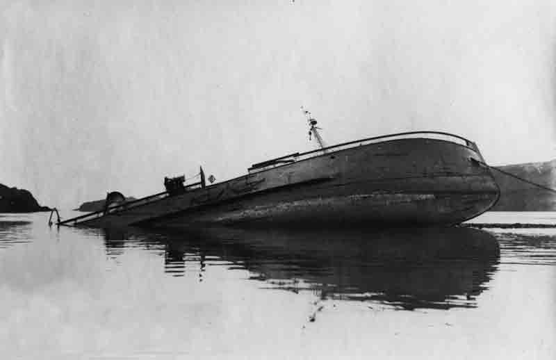
Launched by Smith’s Dock Co Ltd, South Bank-on-Tees, Middlesbrough (Yard No 464) on 14th February 1911, the Ospray II was a steel steam trawler of 295 gross tons, 114 net tons and registered in Fleetwood FD 129. She measured 130.0′ x 23.0′ x 13.2′ and was powered by a triple expansion engine manufactured by Shields Engineering and Dry Dock Co., delivering 85 registered horse power. Built for the Cygnet Steam Fishing Co Ltd (Thomas Cardwell manager) she was owned by this company for her entire career until she was lost in 1935.
With skipper Robert Kelly in charge of his ten crew, she was bound for the fishing grounds off the west coast of Scotland via the Sound of Jura on April 6th, 1935. Another trawler from the same port, the Caldew under skipper Edward Harris, was engaged in fishing operations off the west coast of Kintyre when, for some unexplained reason as the weather was calm and clear at the time, the two fishing boats collided with each other around 8:30am. The Caldew crashed into the Ospray II midships and tore a huge hole in the side of the vessel. One of the crew of the Ospray II later said that the hole was so big that a stream of coal poured out of it into the sea.
Osprey Dive Slideshow
The Caldew quickly took the Ospray II in tow in an attempt to pull her to the nearest land and beach her but this was nearly ten miles away. The skipper of the Ospray II ordered the boat lowered as a precaution and, as the Caldew started to tow the Ospray, she was already starting to sink lower in the water. The crew bravely manned the pumps until the water was swirling around their waists but it was obvious that their efforts were in vain. With the fires extinguished and the ship sinking beneath them the crew were forced to jump for their lives and, less than an hour after the collision, the Ospray II sank in 20 fathoms in a position reported at the time to be approximately two miles from the Ballochantuy shore.
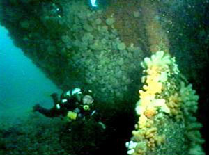
The wreck of the Ospray II was found by Gus and Ian Newman from the Islay Dive Centre in 1995, and lies in position 55°31.016’N, 005°45.612’W (GPS). The wreck is oriented 330/150 degrees, with stern to the north and lies in general seabed depths of 33-35 metres. Her stern has unfortunately now disintegrated along with much of the superstructure visible in the attached video.
Today the wreck is a shadow of its former self. The key elements visible today are the engine, boiler, main trawl winch and the propeller. Sealife on and around the wreck is very colourful with shoals of bib whiting, ling and lythe patrolling the vessel and conger eels hiding beneath her rusting plates. Tides run over a knot on springs at mid tide, so delayed SMB’s and good surface cover are recommended.


