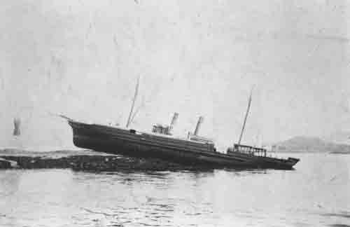
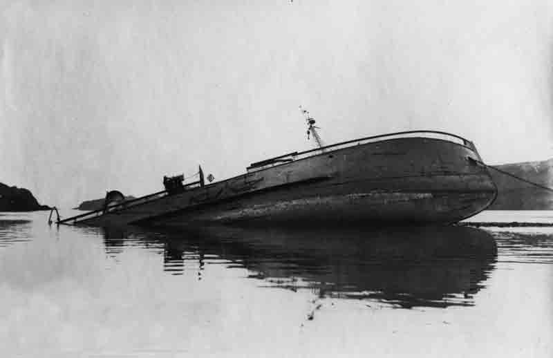
The steam trawler Captain was originally built for one of the biggest trawler owners on the east coast, Thomas Devlin and Son, and registered at Granton number GN 50. Launched from the yard of Hall Russell and Co Ltd of Aberdeen (Yard No. 308) she measured 100.5′ x 20.1′ x 10.7’and her tonnage was 134 gross tons, 49 net tons. She was powered by a two cylinder compound steam engine by Hall Russell delivering 50 registered horse power.
In her early career she survived a mishap when she ran aground on Scougall Rocks east of North Berwick on 30th November 1910 when she was homeward bound from a fishing trip. She refloated without damage on the rising tide. However, she was not to be so lucky when, now under the ownership of another trawler management company run by Mr George Liston of Granton, Edinburgh, she developed a serious leak while fishing off St Abbs Head on 7th February, 1933. She had departed her home port the previous evening and had just reached her intended fishing grounds approximately 9 miles off Cockburnspath when, around midnight, she sprang a leak and quickly began to settle.
The crew of nine, under the command of Philip Liston, had little time to launch and board the ship’s boat, leaving most of their possessions behind and some the men only semi-clothed, before the Captain plunged beneath the surface. In fact, they were doubly lucky, as the boat actually capsized as they lowered it into the water but they were able to right it and clamber aboard before the Captain sank. Thankfully, the weather was good and the sea calm but the fishermen were still left with a long tiring row to the coast. After rowing for six hours the exhausted crew approached St Abbs when they were finally spotted from the shore and local fishing yawl, the Myrtle, put out to assist. The men struggled aboard the Myrtle and were taken back to the safety of the harbour where the generous locals took them in, clothed and fed them before they headed back by road to Granton.
The wreck of the Captain, first surveyed in 2004 and finally identified by the discovery of the ship’s bell in 2007 inscribed with the vessel‘s name and builder, lies where she sank in position 56° 02.767’N, 002° 07.027’W (WGS84). The trawler sits upright and mainly tact with a slight list to starboard in 63 metres oriented 145°/325°.
We would like to thank Lloyd’s Register Foundation – Heritage & Education Centre for allowing us to reproduce documents from their archive in this article.


