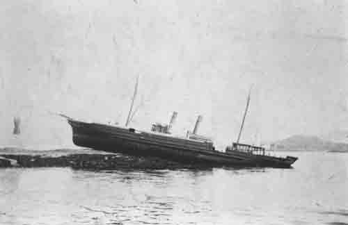
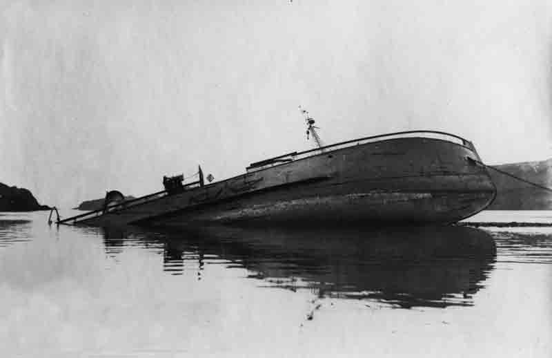
 The varied region of Argyll spreads across and area covering many square miles of the south west coast of the Scottish mainland and dozens of islands of the Inner Hebrides. From the Mull of Kintyre in the south to Mull and Coll in the north, the coastline is scattered with hundreds of shipwrecks dating from earliest times
The area’s proximity to the North Channel, the main artery for shipping from the North Atlantic heading for the main west coast ports of the Clyde and north western England, the unpredictable tides around many of the islands and the prevailing south west wind have taken a terrible toll on ships from the age of sail, steam and even on today’s modern motor driven vessels and their sophisticated navigation technology.
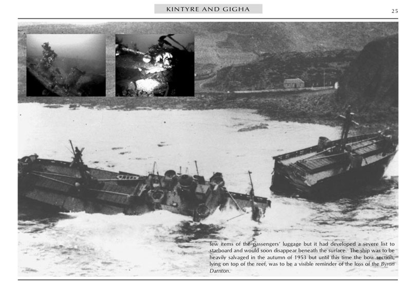
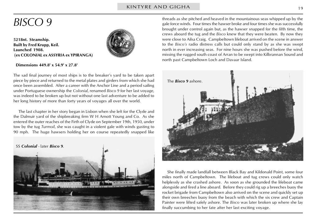
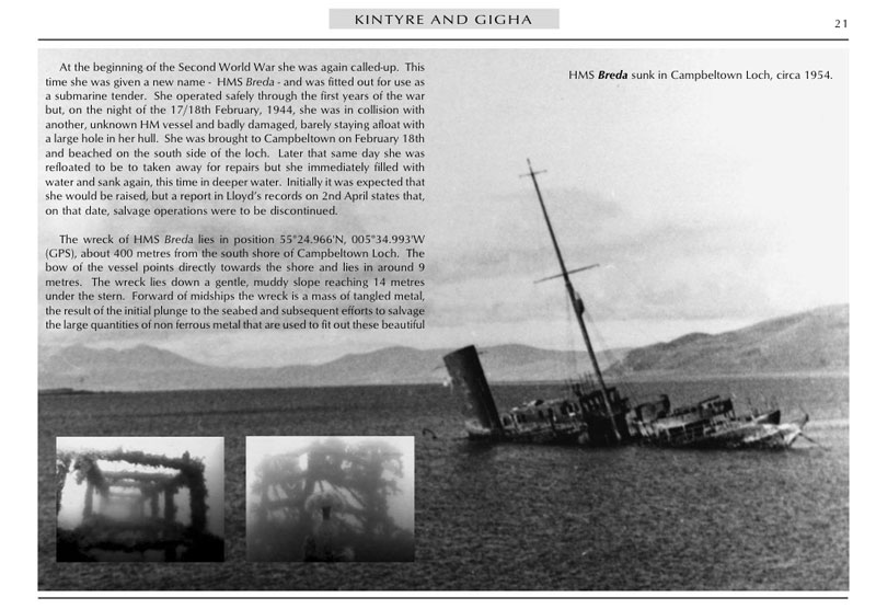
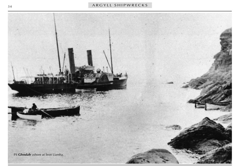
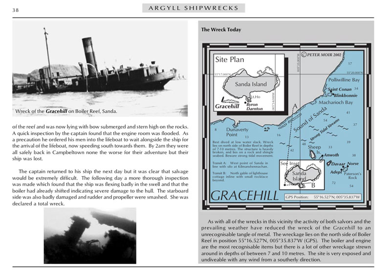
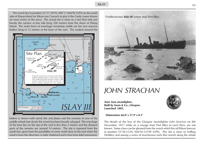
Argyll Shipwrecks describes nearly 300 of these vessels, the details of their loss and provides accurate GPS locations of every wreck that has been located and dived in the region. While substantially written for sub-aqua divers the narratives provide interesting reading for shipping historians and steamer enthusiasts alike and provide a fascinating insight into the lives of the local communities on the islands of the Inner Hebrides and the part they played in the rescue of many of the unfortunate seamen driven ashore on the rugged coastline.
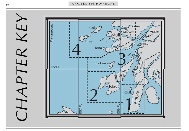
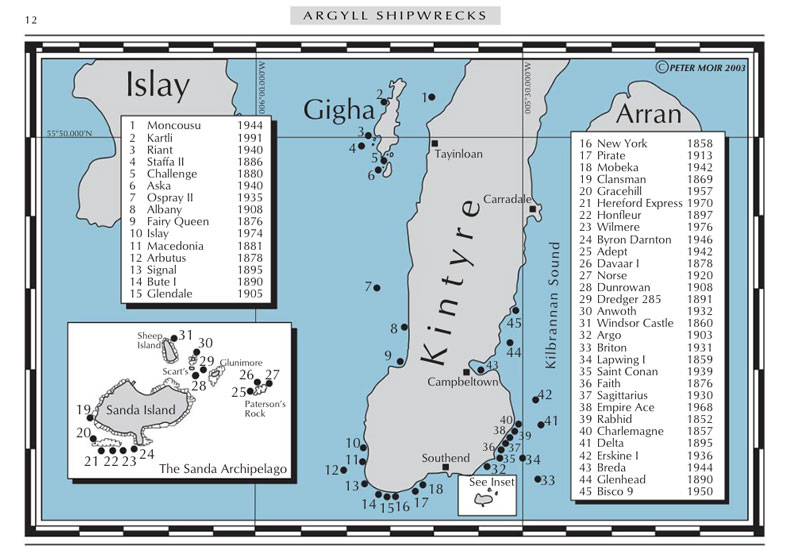
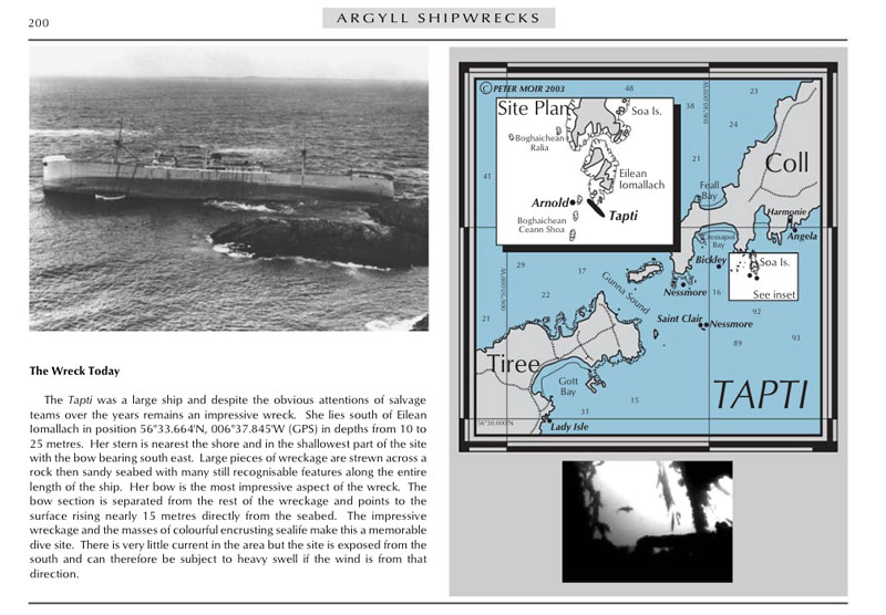
The book is divided into four chapters, each covering a geographical area of the region. Each chapter is prefaced by a map showing the approximate location of each major wreck. While some of the wrecks have been removed, salvaged or even refloated under their own power many have been included for completeness often with details of their salvage when known.
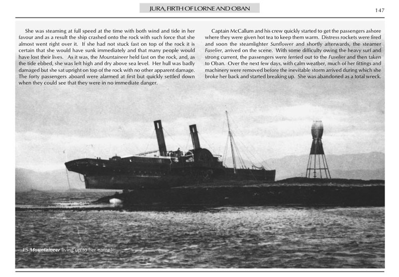
Sample pages from Argyll Shipwrecks

